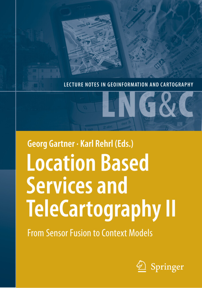
2008, ISBN: 3540873929
[EAN: 9783540873921], Neubuch, [PU: Springer Berlin Heidelberg], DATENVERARBEITUNG ANWENDUNGEN WISSENSCHAFTEN KARTOGRAFIE - KARTIERUNG KARTOGRAPHIE COMPUTERSCIENCE LOCATIONBASEDSERVICES N… Altro …
| AbeBooks.de moluna, Greven, Germany [73551232] [Rating: 4 (von 5)] NEW BOOK. Costi di spedizione:Versandkostenfrei. (EUR 0.00) Details... |

2009, ISBN: 9783540873921
*Location Based Services and TeleCartography II* - From Sensor Fusion to Context Models. Auflage 2009 / gebundene Ausgabe für 160.49 € / Aus dem Bereich: Bücher, Wissenschaft, Geowissensc… Altro …
| Hugendubel.de Costi di spedizione:Shipping in 7 days, , Versandkostenfrei nach Hause oder Express-Lieferung in Ihre Buchhandlung., DE. (EUR 0.00) Details... |

Location Based Services and TeleCartography II From Sensor Fusion to Context Models - copertina rigida, flessible
2008, ISBN: 3540873929
[EAN: 9783540873921], Gebraucht, guter Zustand, [SC: 0.0], [PU: Springer Berlin], CARTOGRAPHY,LOCATION BASED SERVICES,COMPUTER SCIENCE,TELECOMMUNICATION,NAVIGATION,DEVELOPMENT,RADIO-FREQU… Altro …
| ZVAB.com Buchpark, Trebbin, Germany [83435977] [Rating: 5 (von 5)] NOT NEW BOOK. Costi di spedizione:Versandkostenfrei. (EUR 0.00) Details... |

2008, ISBN: 9783540873921
[PU: Springer Berlin], Neubindung 4681543/12, DE, [SC: 0.00], gebraucht; sehr gut, gewerbliches Angebot, 2009, Banküberweisung, Kreditkarte, PayPal, Klarna-Sofortüberweisung, Internationa… Altro …
| booklooker.de |

ISBN: 9783540873921
There is currently no description available, Springer
| Springer.com Nr. 978-3-540-87392-1. Costi di spedizione:Worldwide free shipping, , DE. (EUR 0.00) Details... |


2008, ISBN: 3540873929
[EAN: 9783540873921], Neubuch, [PU: Springer Berlin Heidelberg], DATENVERARBEITUNG ANWENDUNGEN WISSENSCHAFTEN KARTOGRAFIE - KARTIERUNG KARTOGRAPHIE COMPUTERSCIENCE LOCATIONBASEDSERVICES N… Altro …

2009, ISBN: 9783540873921
*Location Based Services and TeleCartography II* - From Sensor Fusion to Context Models. Auflage 2009 / gebundene Ausgabe für 160.49 € / Aus dem Bereich: Bücher, Wissenschaft, Geowissensc… Altro …

Location Based Services and TeleCartography II From Sensor Fusion to Context Models - copertina rigida, flessible
2008
ISBN: 3540873929
[EAN: 9783540873921], Gebraucht, guter Zustand, [SC: 0.0], [PU: Springer Berlin], CARTOGRAPHY,LOCATION BASED SERVICES,COMPUTER SCIENCE,TELECOMMUNICATION,NAVIGATION,DEVELOPMENT,RADIO-FREQU… Altro …

2008, ISBN: 9783540873921
[PU: Springer Berlin], Neubindung 4681543/12, DE, [SC: 0.00], gebraucht; sehr gut, gewerbliches Angebot, 2009, Banküberweisung, Kreditkarte, PayPal, Klarna-Sofortüberweisung, Internationa… Altro …
Dati bibliografici del miglior libro corrispondente
| Autore: | |
| Titolo: | |
| ISBN: |
Informazioni dettagliate del libro - Location Based Services and TeleCartography II
EAN (ISBN-13): 9783540873921
ISBN (ISBN-10): 3540873929
Copertina rigida
Copertina flessibile
Anno di pubblicazione: 2008
Editore: Springer Berlin Heidelberg
456 Pagine
Peso: 0,959 kg
Lingua: eng/Englisch
Libro nella banca dati dal 2007-08-03T19:45:19+02:00 (Zurich)
Pagina di dettaglio ultima modifica in 2024-04-17T12:01:59+02:00 (Zurich)
ISBN/EAN: 9783540873921
ISBN - Stili di scrittura alternativi:
3-540-87392-9, 978-3-540-87392-1
Stili di scrittura alternativi e concetti di ricerca simili:
Autore del libro : gartner, georg gärtner, karl georg, karl may, rehr, rehrl karl, with karl, georg gaertner, schmidt felix, karl springer
Titolo del libro: location based services telecartography, sensor fusion, art and cartography, locations, women who have changed the world, gartner, location salzburg
Dati dell'editore
Autore: Georg Gartner; Karl Rehrl
Titolo: Lecture Notes in Geoinformation and Cartography; Location Based Services and TeleCartography II - From Sensor Fusion to Context Models
Editore: Springer; Springer Berlin
456 Pagine
Anno di pubblicazione: 2008-11-04
Berlin; Heidelberg; DE
Lingua: Inglese
160,49 € (DE)
164,99 € (AT)
177,00 CHF (CH)
Available
XXIX, 456 p. 203 illus.
BB; Hardcover, Softcover / Geowissenschaften/Geografie; Geographische Informationssysteme (GIS) und Fernerkundung; Verstehen; Computer Science; Location Based Services; Navigation; Telecommunication; cartography; development; geodesy; radio-frequency identification (RFID); Geographical Information System; Earth Sciences; Geowissenschaften; EA; BC
Modelling.- A Formal Model for Mobile Map Adaptation.- Using Activity Theory to Identify Relevant Context Parameters.- Congestion Visualization Based on Probe Vehicle Data.- Where do you Roll Today? Trajectory Prediction by SpaceRank and Physics Models.- Ways of Walking – Developing a Pedestrian Typology for Personalised Mobile Information Systems.- Mapping Pedestrian Movement: Using Tracking Technologies in Koblenz.- TeleCartography.- Evaluation of User Variables in Topographic Feature Recall for the Informed Selection of Personalized Landmarks.- Measuring the Impact of Location-Awareness in the Acceptance of Mobile Systems.- Impact of Restricted Display Size on Spatial Knowledge Acquisition in the Context of Pedestrian Navigation.- User Requirements for Location-Based Services to Support Hiking Activities.- Geo-Identifi cation and Pedestrian Navigation with Geo-Mobile Applications: How Do Users Proceed?.- Neo-Cartographic Infl uence on Map Communication in LBS.- Location Based Services and Applications.- The Adoption of Mobile Location-Aware Systems for Field Police Work: Evaluation of a Pilot Initiative at the Dutch Police.- Enhancing the Experience of the Landscape: The Digital Dowsing Rod.- MNISIKLIS:Indoor Location Based Services for All.- geoHealth Monitoring –Real-Time Monitoring for Action Forces During Disaster Operations.- Modelling Home and Work Locations of Populations Using Passive Mobile Positioning Data.- A Geographical Information System for Real Estate (GEOVAL).- Positioning and Sensor Fusion.- Quality Assurance / Quality Control Analysis of Dead Reckoning Parameters in a Personal Navigator.- Efficient Overlay Mediation for Mobile Location-Based Services.- Three-Dimension Indoor Positioning Algorithms Using an Integrated RFID/INS System inMulti-storey Buildings.- Prediction of GNSS Availability and Accuracy in Urban Environments Case Study Schiphol Airport.- An Investigation of the Signal Performance of the Current and Future GNSS in Typical Urban Canyons in Australia Using a High Fidelity 3D Urban Model.- Using RFID and INS for Indoor Positioning.- GPS/WiFi Real-Time Positioning Device: An Initial Outcome.- LBS and TeleCartography II: About the book.- LBS and TeleCartography II: About the book.Gives a general picture of research-driven actitivities related to the context of location and map-based services Includes supplementary material: sn.pub/extras
Altri libri che potrebbero essere simili a questo:
Ultimo libro simile:
9783642099502 Location Based Services and TeleCartography II: From Sensor Fusion to Context Models Georg Gartner Editor (Georg Gartner)
- 9783642099502 Location Based Services and TeleCartography II: From Sensor Fusion to Context Models Georg Gartner Editor (Georg Gartner)
- 9783642071799 Location Based Services and TeleCartography by Georg Gartner Paperback | Indigo Chapters (Georg Gartner)
- 9783642123702 Location Based Services and TeleCartography III. Lecture Notes in Geoinformation and Cartography (From New Theories to LBS 2.0)
- 9783540367277 Location Based Services and TeleCartography (Georg Gartner)
< Per archiviare...


