2012, ISBN: 9789400740754
The ability to create automated algorithms to process gridded spatial data is increasingly important as remotely sensed datasets increase in volume and frequency. Whether in business, soc… Altro …
| Orellfuessli.ch Nr. 33652809. Costi di spedizione:, Sofort per Download lieferbar, zzgl. Versandkosten, Lieferzeiten außerhalb der Schweiz 3 bis 21 Werktage. (EUR 16.53) Details... |

ISBN: 9789400740754
Our ability to create algorithms for automatically processing gridded spatial data is increasingly important as the volume of remotely sensed imagery expands. This text provides a compreh… Altro …
| hive.co.uk No. 9789400740754. Costi di spedizione:, , zzgl. Versandkosten., Costi di spedizione aggiuntivi Details... |

ISBN: 9789400740754
Automating the Analysis of Spatial Grids - A Practical Guide to Data Mining Geospatial Images for Human & Environmental Applications: ab 170.99 € eBooks > Fachthemen & Wissenschaft > Wiss… Altro …
| eBook.de Costi di spedizione:in stock, , , DE. (EUR 0.00) Details... |

2012, ISBN: 9789400740754
A Practical Guide to Data Mining Geospatial Images for Human & Environmental Applications, eBooks, eBook Download (PDF), Auflage, [PU: Springer-Verlag], [ED: 1], Springer-Verlag, 2012
| lehmanns.de Costi di spedizione:Download sofort lieferbar. (EUR 0.00) Details... |

2012, ISBN: 9789400740754
A Practical Guide to Data Mining Geospatial Images for Human & Environmental Applications, eBooks, eBook Download (PDF), 2012, [PU: Springer Netherland], Springer Netherland, 2012
| lehmanns.de Costi di spedizione:Download sofort lieferbar. (EUR 0.00) Details... |

2012, ISBN: 9789400740754
The ability to create automated algorithms to process gridded spatial data is increasingly important as remotely sensed datasets increase in volume and frequency. Whether in business, soc… Altro …
ISBN: 9789400740754
Our ability to create algorithms for automatically processing gridded spatial data is increasingly important as the volume of remotely sensed imagery expands. This text provides a compreh… Altro …

ISBN: 9789400740754
Automating the Analysis of Spatial Grids - A Practical Guide to Data Mining Geospatial Images for Human & Environmental Applications: ab 170.99 € eBooks > Fachthemen & Wissenschaft > Wiss… Altro …

2012, ISBN: 9789400740754
A Practical Guide to Data Mining Geospatial Images for Human & Environmental Applications, eBooks, eBook Download (PDF), Auflage, [PU: Springer-Verlag], [ED: 1], Springer-Verlag, 2012

2012, ISBN: 9789400740754
A Practical Guide to Data Mining Geospatial Images for Human & Environmental Applications, eBooks, eBook Download (PDF), 2012, [PU: Springer Netherland], Springer Netherland, 2012
Dati bibliografici del miglior libro corrispondente
| Autore: | |
| Titolo: | |
| ISBN: |
Informazioni dettagliate del libro - Automating the Analysis of Spatial Grids
EAN (ISBN-13): 9789400740754
ISBN (ISBN-10): 9400740751
Anno di pubblicazione: 2012
Editore: Springer-Verlag
320 Pagine
Lingua: eng/Englisch
Libro nella banca dati dal 2012-11-04T19:56:17+01:00 (Zurich)
Pagina di dettaglio ultima modifica in 2022-05-16T02:50:05+02:00 (Zurich)
ISBN/EAN: 9789400740754
ISBN - Stili di scrittura alternativi:
94-007-4075-1, 978-94-007-4075-4
Stili di scrittura alternativi e concetti di ricerca simili:
Autore del libro : laks
Titolo del libro: the automat, data human, grids grids grids grids grids grids grids grids, data mining analysis
Dati dell'editore
Autore: Valliappa Lakshmanan
Titolo: Geotechnologies and the Environment; Automating the Analysis of Spatial Grids - A Practical Guide to Data Mining Geospatial Images for Human & Environmental Applications
Editore: Springer; Springer Netherland
320 Pagine
Anno di pubblicazione: 2012-06-14
Dordrecht; NL
Lingua: Inglese
149,79 € (DE)
154,00 € (AT)
177,00 CHF (CH)
Available
X, 320 p. 136 illus. in color.
EA; E107; eBook; Nonbooks, PBS / Geowissenschaften/Sonstiges; Geowissenschaften; Verstehen; Data mining; Geoinformatics; Image processing; Pattern recognition; Remote sensing; B; Geotechnical Engineering and Applied Earth Sciences; Geographical Information System; Data Mining and Knowledge Discovery; Earth Sciences; Engineering; Geographische Informationssysteme (GIS) und Fernerkundung; Data Mining; Wissensbasierte Systeme, Expertensysteme; BB
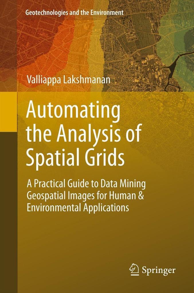
The ability to create automated algorithms to process gridded spatial data is increasingly important as remotely sensed datasets increase in volume and frequency. Whether in business, social science, ecology, meteorology or urban planning, the ability to create automated applications to analyze and detect patterns in geospatial data is increasingly important. This book provides students with a foundation in topics of digital image processing and data mining as applied to geospatial datasets. The aim is for readers to be able to devise and implement automated techniques to extract information from spatial grids such as radar, satellite or high-resolution survey imagery.Contains a distillation of practical techniques from multiple fields Features techniques illustrated on an easy to understand (and included) population density data set Includes software implementation in Java of the techniques described in the text
Altri libri che potrebbero essere simili a questo:
Ultimo libro simile:
9789401779401 Automating the Analysis of Spatial Grids (Valliappa Lakshmanan)
< Per archiviare...


